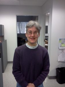
 Jane received a BS in Electrical Engineering from Tufts University in 1979 and an MS in Electrical Engineering in 2003. She is currently working towards a PhD in Electrical Engineering at the University of Southern California.
Our research has primarily been focused on large-scale thematic mapping of boreal wetlands. The mapping is based on space-based L-Band (roughly 1.5 GHz) synthetic aperture radar (SAR), which offers efficient, high-resolution visibility into vast, often-inaccessible wetland regions. L-band SAR is able to penetrate clouds and vegetation canopies in order to sense underlying vegetation structure and soil wetness in a way that optical signals cannot. Wetland categories are extracted from the SAR imagery and ancillary data by applying the Random Forests decision tree classification technique. Wetland maps have been generated for boreal regions in Alaska and Canada using imagery from two different L-band SAR satellites, one operational in the late 1990’s and one in the late 2000’s, such that the maps can be compared to assess wetland changes during the intervening decade.
We are also processing a time series of space-based L-band SAR images in order to estimate soil wetness as a function of time during the summer months in a region on Alaska’s North Slope. For that effort, we develop a forward scattering model for each land cover class present in the region. The ground is modeled as a rough surface, with roughness and soil properties chosen consistent with regional soil maps, and dielectric constant a time-varying function of soil wetness. All land cover parameters but soil wetness are assumed constant throughout the summer, so we invert the backscatter difference between successive SAR images to get the change in soil wetness as a function of time. After subtracting the time-varying component of backscatter from the total SAR backscatter, we then invert the remaining constant component of backscatter and ancillary data to obtain initial soil wetness and unknown vegetation parameters. Finally, the change in soil wetness is used to propagate forward from the initial value of soil wetness.
Publications
Whitcomb, J., M. Moghaddam, K. McDonald, J. Kellndorfer, and E. Podest, “Mapping wetlands of Alaska from L-band SAR imagery,” C. J. Remote Sensing, vol. 35, no. 1, pp. 54-72, February 2009.