Education

B.A. Political Science, Hampton University (2010)
M.Cert. International Relations, American University (2011)
M.S. Geographic and Cartographic Sciences (remote sensing), George Mason University (2015)
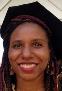
Ph.D. Geography, UCLA (2022)
Statement about research interests: I design algorithms using remote sensing datasets to study water features such as water quantity (inundation and discharge) and state (solid vs liquid phase, and surface roughness/turbulence). My research is extremely interdisciplinary, crossing fields of electrical engineering (radar science), earth science and civil engineering (hydrology and geomorphology), urban planning (land use), and geography (spatial analytics). I study surface water from rivers and lakes as well as subsurface soil moisture and aquifers, which also requires the study of above ground biomass and vegetation structure in order to accurately retrieve sub-canopy moisture properties. By understanding the dynamics of water quantity and state, we can better understand current and historical hydrologic trends and improve resilience to ongoing climatic changes. I will use remote sensing technology and hydrologic models to understand future changes to global terrestrial water storage and arctic permafrost dynamics. This work will enable more robust monitoring of available water resources in aid of predicting extreme events leading to flooding, droughts, wildfires, and moisture-induced landslides.